


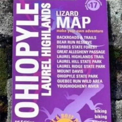


The Ohiopyle-Laurel Highlands Lizard Map covers Forbes State Forest and some of the most popular outdoor recreational playgrounds in Pennsylvania.
It covers a large chunk of southwestern Pennsylvania from Smithton, PA, in the northwest (Exit 49 on I-70) to the Quemahoning Reservoir at Route 219 and Route 30 in the northeast. From there it extends south to the PA-MD state line, including the Savage Tunnel on the GAP and the Quebec Wild Area near Uniontown, PA, at a scale of 1:87,000. The other side is a detailed map of Ohiopyle State Park, showing the trail systems and river access at a scale of 1:27,200.
This beautiful region includes parks and forests, quaint mountain and river towns, and tons of opportunity for outdoor recreation, family activities and visiting historic sites. Hiking, biking, boating, camping - this part of Pennsylvania has it all!
It's super easy to get to. Located within 200 miles of several major metro areas including Pittsburgh, Washington D.C., Baltimore, Cleveland and Columbus, Ohiopyle-Laurel Highlands offers something for every outdoor enthusiast.
- Hundreds of miles of beautiful trails, mountain streams, and rivers
- Forbes State Forest
- 46 miles of the Laurel Highlands Hiking Trail from Ohiopyle to Rt 30 Shelters
- Over 80 miles of the Great Allegheny Passage from I-70 to the PA-MD line.
- So many State Parks: Laurel Ridge, Laurel Hill, Laurel Summit, Laurel Mountain, Linn Run, Kooser and Ohiopyle State Parks
- Quebec Run Wild Area and Roaring Run Natural Area
- Mount Davis - the highest point in Pennsylvania at 3,213 feet!
- Youghiogheny River and the Youghiogheny River Lake
- Fort Necessity, Jumonville Glen and the Flight 93 Memorial
- The towns of Uniontown, Connellsville, Donegal, Somerset, Meyersdale, Confluence, and more!